
Stanage Edge - Peak District Walk
Friday 19th August 2022
I hadn't expected to take a 4 month break in my walking but after coming down Gatesgarth Pass on my last walk my knee objected very loudly. A long period of rest, physio and rebuilding of my muscles walking around my home town and many hours spent in the gym followed. Today I felt confident enough to test out my knee on a gentle walk, so we set out for a late afternoon, early evening walk on Stanage Edge.
Start: Dennis Knoll car park (SK 2277 8434)
Route: Dennis Knoll car park - Crow Chin - Stanage End - High Neb (TP) - Stanage Edge - Long Causeway - Dennis Knoll car park
Distance: 5.5 miles Ascent: 232 metres Time Taken: 2 hours 20 mins
Terrain: Clear paths
Weather: Warm with a strong breeze on the summit
Pub Visited: None Ale Drunk: None
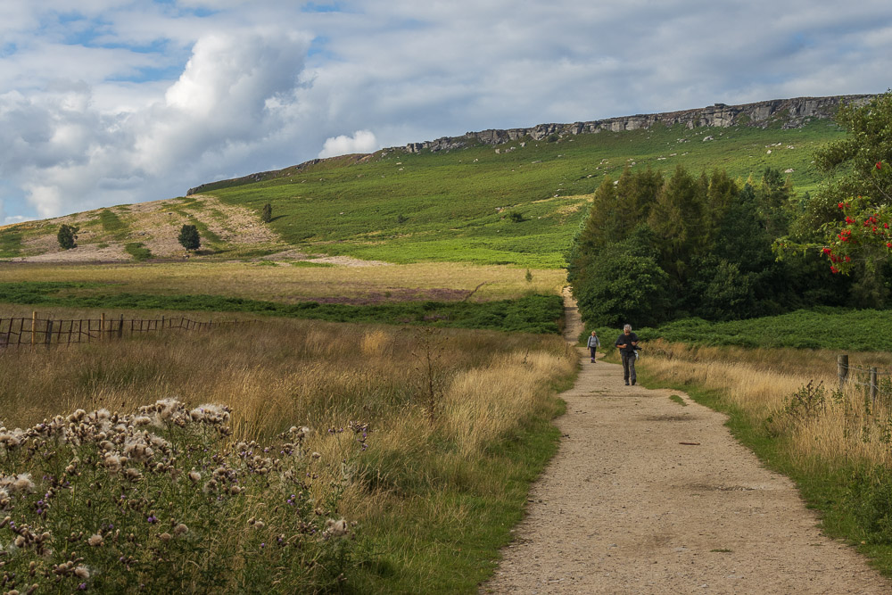
Heading out on our walk as most people are finishing their walk meant that once we were clear of the Long Causeway we met very few people.
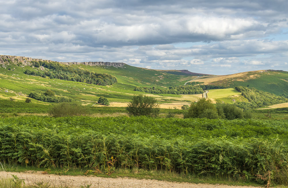
Looking along Stanage Edge towards Higger Tor.
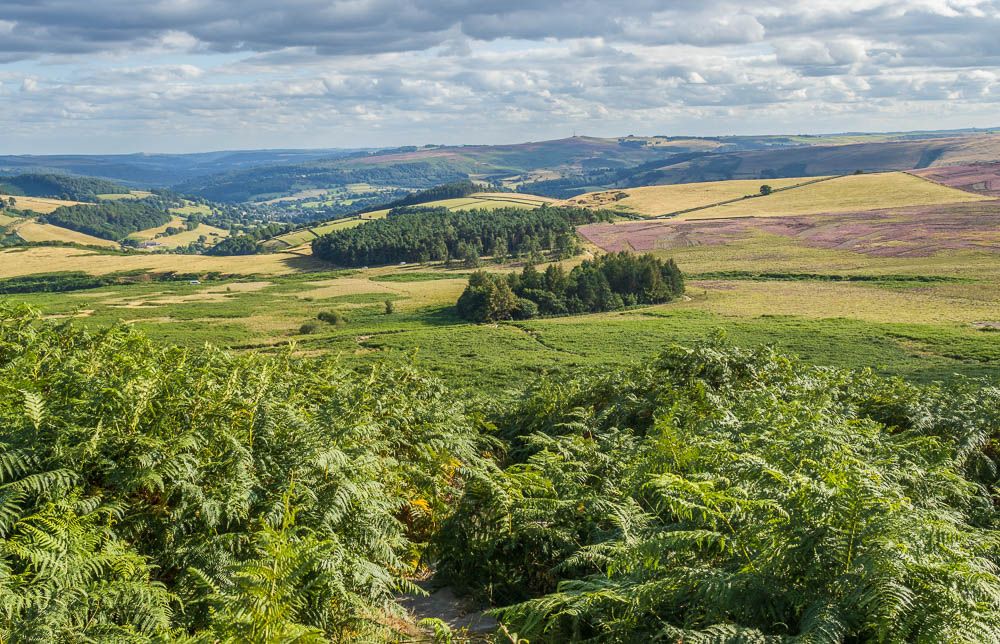
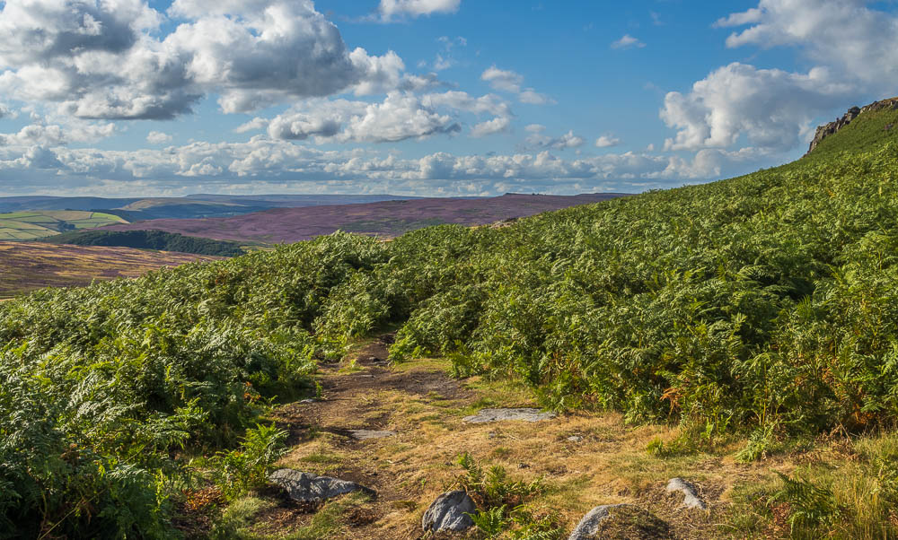
We have opted to walk below Stanage Edge first and return along the top, which means the first task is to head uphill to the path below the edge. At this time of year this is a trip through ferns that in my case are often head height.
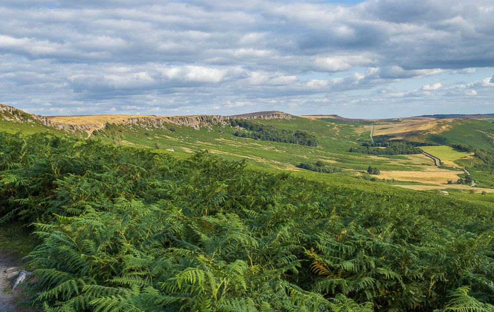
Having survived the ferns we are rewarded with a clearer view of the edge and beyond it to Higger Tor.
Looking in the opposite direction the view extends along Derwent Edge to Back Tor.
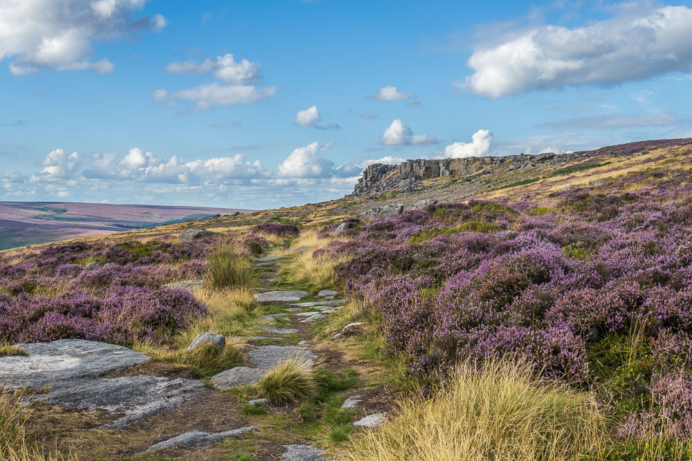
Thankfully the path doesn't go through many more ferns and we are soon approaching Crow Chin.
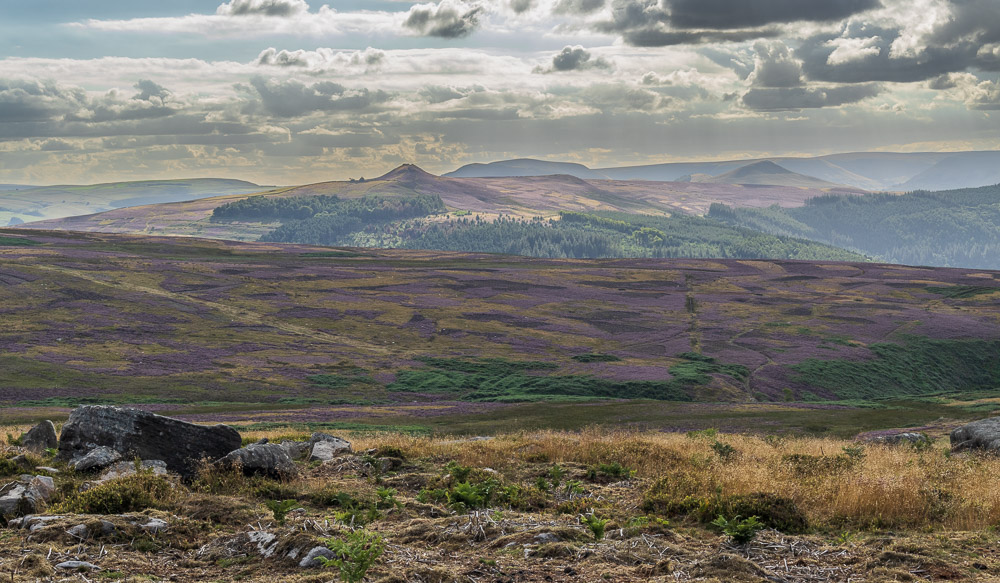
The sun disappears behind a cloud and whilst it is shaded I grab a shot of Moscar Moor and Win Hill.
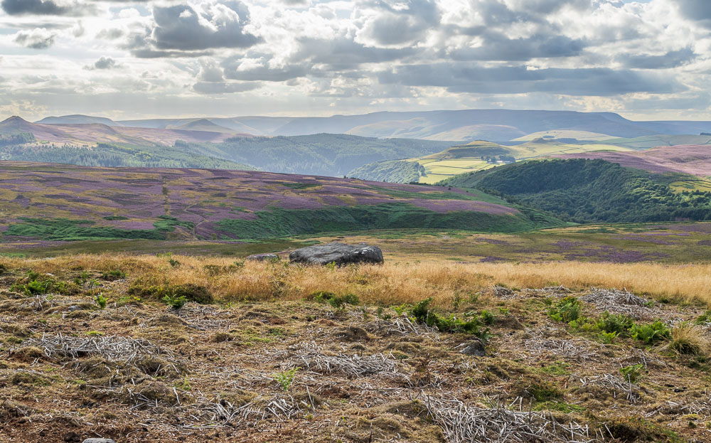
Looking across Jarvis Clough to Crook Hill.
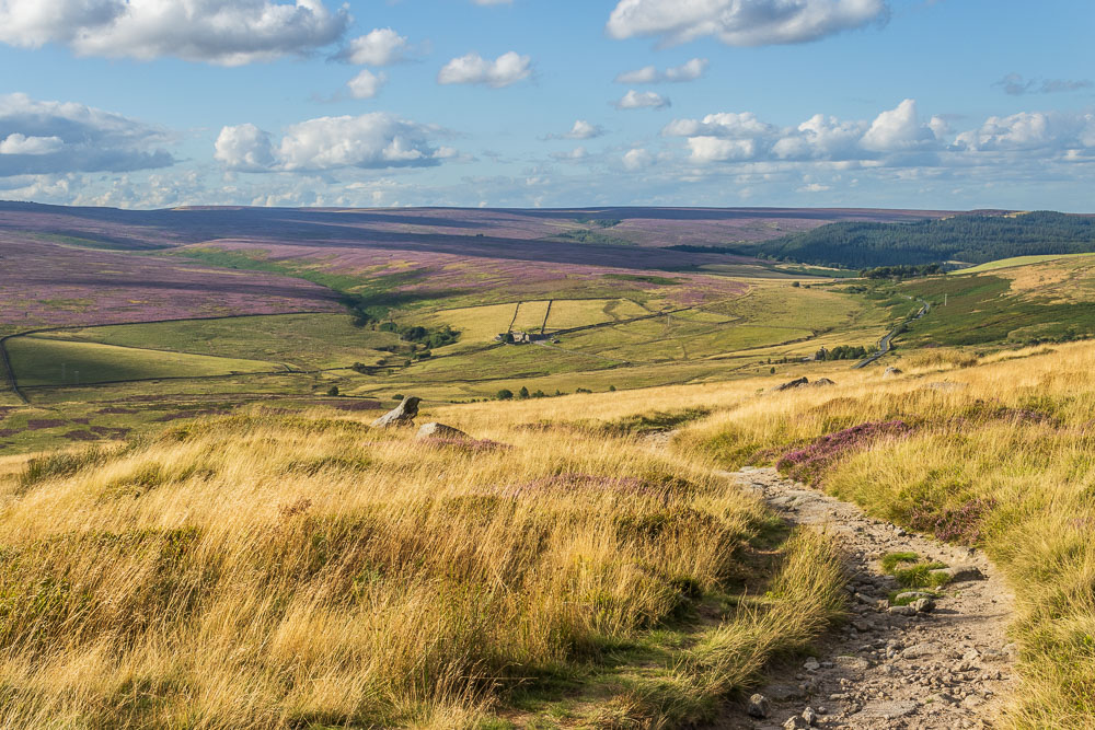
Before we head up onto the top of Stanage Edge we enjoy the view across to Ughill and Strines Moors.
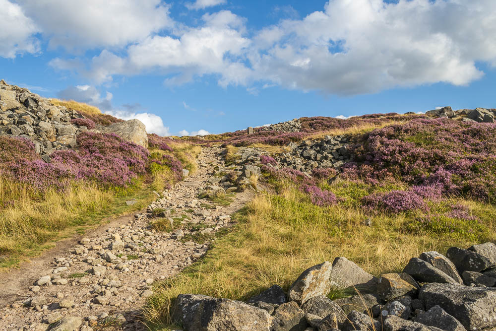
The old boundary stone marks the point at which we head up onto the top of Stanage Edge.
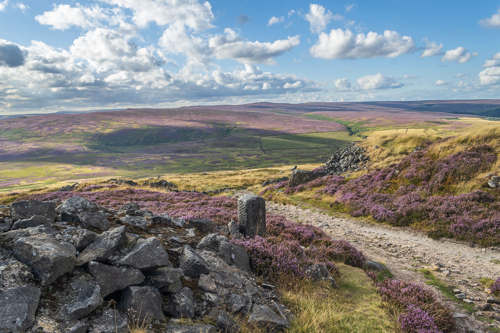
The short ascent gives us a clear view across the moors to Derwent Edge and Back Tor. A place that before my injury I had planned on visiting this year.
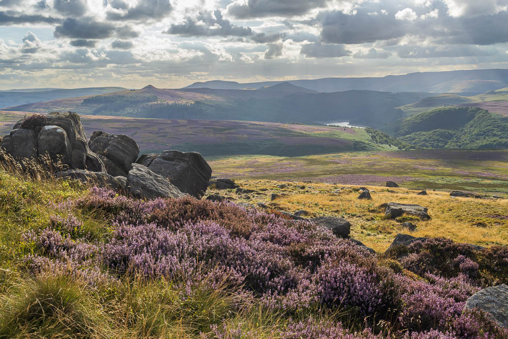
It is also from here that we get a very brief glimpse of Ladybower Reservoir, which acts as a great marker for spotting the point at which you need to head up onto or down below the edge.
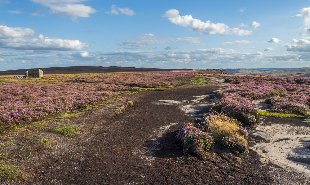
Looking along the edge to a distant High Neb.
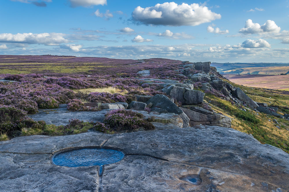
Thanks to all the recent very dry weather for once this walk didn't involve any bog-hopping, but it was good to see that the watering holes were full. Not sure if someone is filling them or it is a result of the recent rain we'd had.
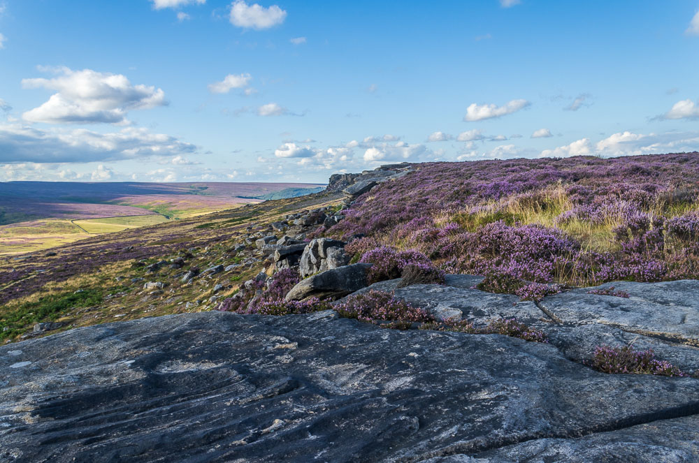
Thanks to the dry conditions the walking was very easy and we were soon looking back along the edge to Crow Chin.

Strangely other than climbers below Stanage Edge most of the people we saw were whilst we were at High Neb's trig.
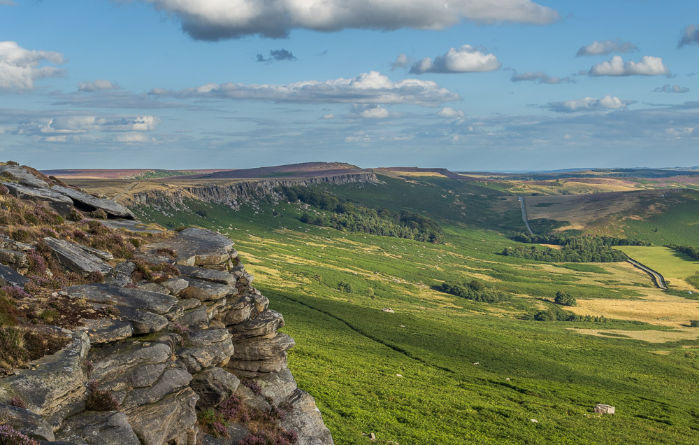
Just beyond High Neb we found a rock that sheltered us from the rather strong breeze and settled down to enjoy our tea with a view.
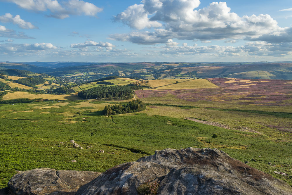
If we didn't want to look along the edge we could instead look across Bamford Moor to the distant Sir William Hill.
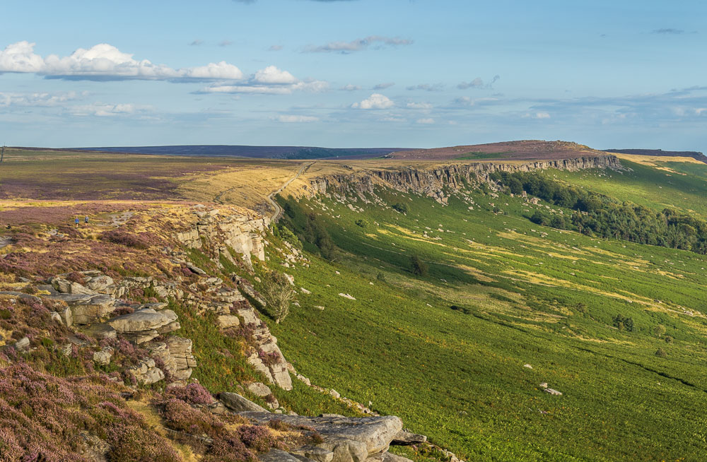
The strong breeze means that the light on the edge is constantly changing.
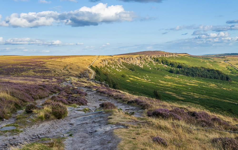
The top of Long Causeway soon comes into view, which means that we will soon be leaving the top of the edge.
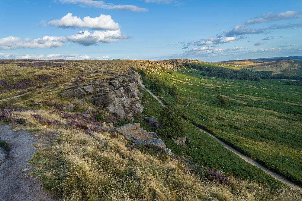
Approaching the Long Causeway, but before we get there we have to negotiate the only awkward bit on this walk, a small rocky ledge that requires care and attention, especially when it is wet.
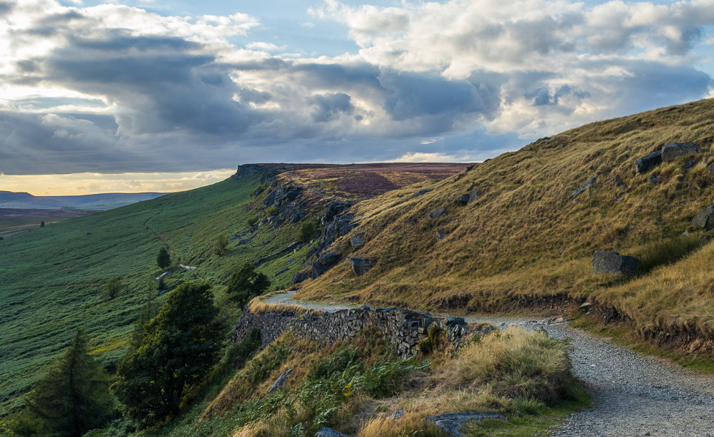
Any hope that the sun might illuminate the edge whilst I was at the top of the Long Causeway were dashed as it disappeared behind a thick bank of cloud.
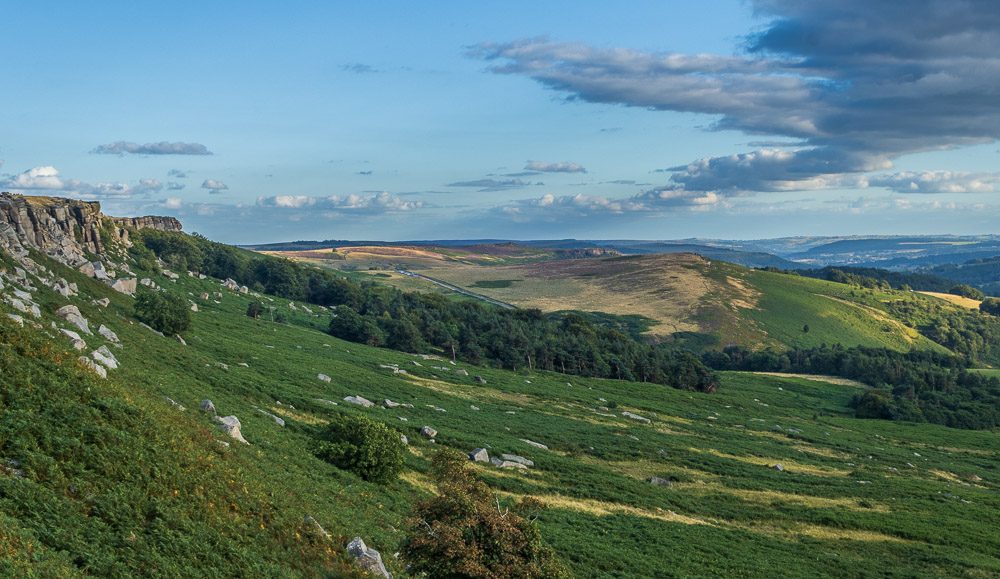
Although the ferns along the side of Long Causeway were frequently above my head I did get the occasional view, here looking across Cattis-side Moor to Over Owler Tor.
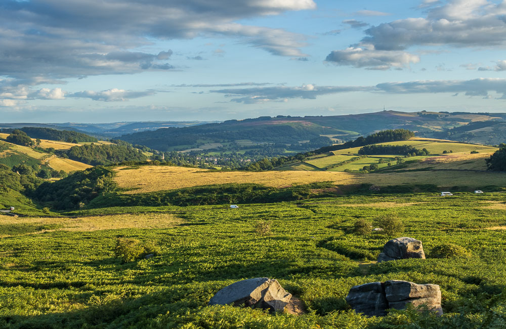
As we approach Dennis Knoll the sun lights up Sheepwash Bank and Hathersage.
All pictures copyright © Peak Walker 2006-2023